


A wind chill warning remains in effect from today (Jan. 29) until 2 p.m. on Thursday, Jan. 31. Dangerously cold wind chills are expected for all of northwest Ohio. Wind chills as low as 45 below zero expected.
The dangerously cold wind chills could cause frostbite on exposed skin in less than 10 minutes.
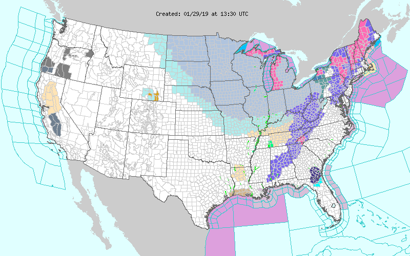
According to the National Weather Service, this is one of the coldest "arctic air intrusions" in recent memory, especially for Ohio and Michigan. From today through Thursday, expect frigid temperatures and bitterly cold wind chills, likely leading to widespread record lows.
People exposed to extreme cold are susceptible to frostbite in a matter of minutes. Areas most prone to frostbite are uncovered skin and the extremities, such as hands and feet. Hypothermia is another threat during extreme cold. Hypothermia occurs when the body loses heat faster than it can produce.
Click here for National Weather Service
Weather Underground said "A fierce blast of Arctic cold is on its way to the Midwest U.S. for Tuesday through Thursday, one that has the potential to set Earth’s first all-time cold records of 2019."
Click here for Weather Underground.
According to Seth Borenstein of the Associated Press, this blast of cold air comes from the polar vortex, the super-cold air that usually resides around the Arctic Circle. A batch of this arctic air has been displaced and is currently hovering over the Great Lakes.
This happened five years ago, in January 2014. Temperatures reached minus 16 degrees Fahrenheit in 2014, but some meteorologists are predicting this year's will be worse, due to higher wind chills.
Please be cautious when venturing outside for the next couple days.